

ColdWater Flight Construction Services by:
Construction Site Survey & Monitoring
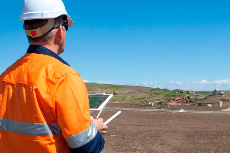
Drones revolutionize construction surveying by quickly capturing high-resolution aerial data for rapid, cost-effective site mapping, progress tracking, and safety monitoring, replacing slower, riskier traditional methods like generating detailed 2D maps, 3D models, and volumetric analysis that integrate with BIM for better decision-making and issue detection, ensuring projects stay on schedule and budget. They enhance safety by inspecting hazardous areas remotely and improve communication through visual, data-rich reports, making them essential for modern construction oversight.
Benefits
- Efficiency: Rapid data capture over large areas, reducing survey time significantly.
- Cost Reduction: Lower labor needs and reduced need for expensive, time-consuming manual surveys.
- Safety: Keeps workers out of dangerous zones like unstable slopes or high structures.
- Accuracy & Detail: Provides precise measurements and detailed visuals for better project control.
- Data Integration: Seamlessly integrates with software like BIM for comprehensive project management.
Site Survey
But collecting and processing your data is only half of the story.
A successful construction site drone program needs software to make sense of all that data, giving you accurate and actionable information about your site’s progress and productivity. Our powerful platforms translate the raw drone data into a format anyone can read and use in their daily work.
The other half of the equation? Interactive 3D site maps you can use to measure and manage your worksite. Fully navigable. Fully measurable. Run in your browser, so no one needs special software or a high-powered computer to use them. - We think we use the best platform on the market. Call us to discuss!
When anyone can log in and make measurements or check for hazards, drone surveying software helps ensure high-quality work throughout the life of a project, minimizing operational risks and costs.
Construction Monitoring

It’s well-known that most construction projects run over time and over budget. Nearly 92% of all projects run over their planned budget, schedule, or both. But it doesn’t have to be that way.
Echo Flight surveys provide an easy way to visualize your site’s transformation as the project progresses, helping you inform remote stakeholders on progress and monitor contractor work so no one falls behind. With frequent drone surveys, you can catch production delays before they snowball, communicating any unavoidable issues to clients and reallocating resources early in the project so you stay on schedule.
Regular drone surveys help deliver up-to-date information to project stakeholders and contractors by providing a bird’s-eye view that simply isn’t available from the ground. And processing your data with a cloud-based platform reduces the time and expense associated with on-site visits.
With Propeller, processing and generating shareable reports is as easy as dragging and dropping. PDF and CSV reports can be shared with internal or external stakeholders in seconds.